Something I started during covid to help generate data to fight against my rising property taxes and the O’Hare runway expansion project…..finally finished.
I filed an appeal the first time they announced the expansion and the increase in flight traffic. Most of it was with newspaper clippings and other published data from 3rd party sources. I won. The second time I appealed for the same reasons. No such luck. So I figured I could generate some data that no one else had. Life got in the way and I only had a couple of python scripts to draw a 3D flight path on Google Earth of a single flight taking off from ORD over Lake Michigan. What I had doodled in python was neat, but not going to win any awards.
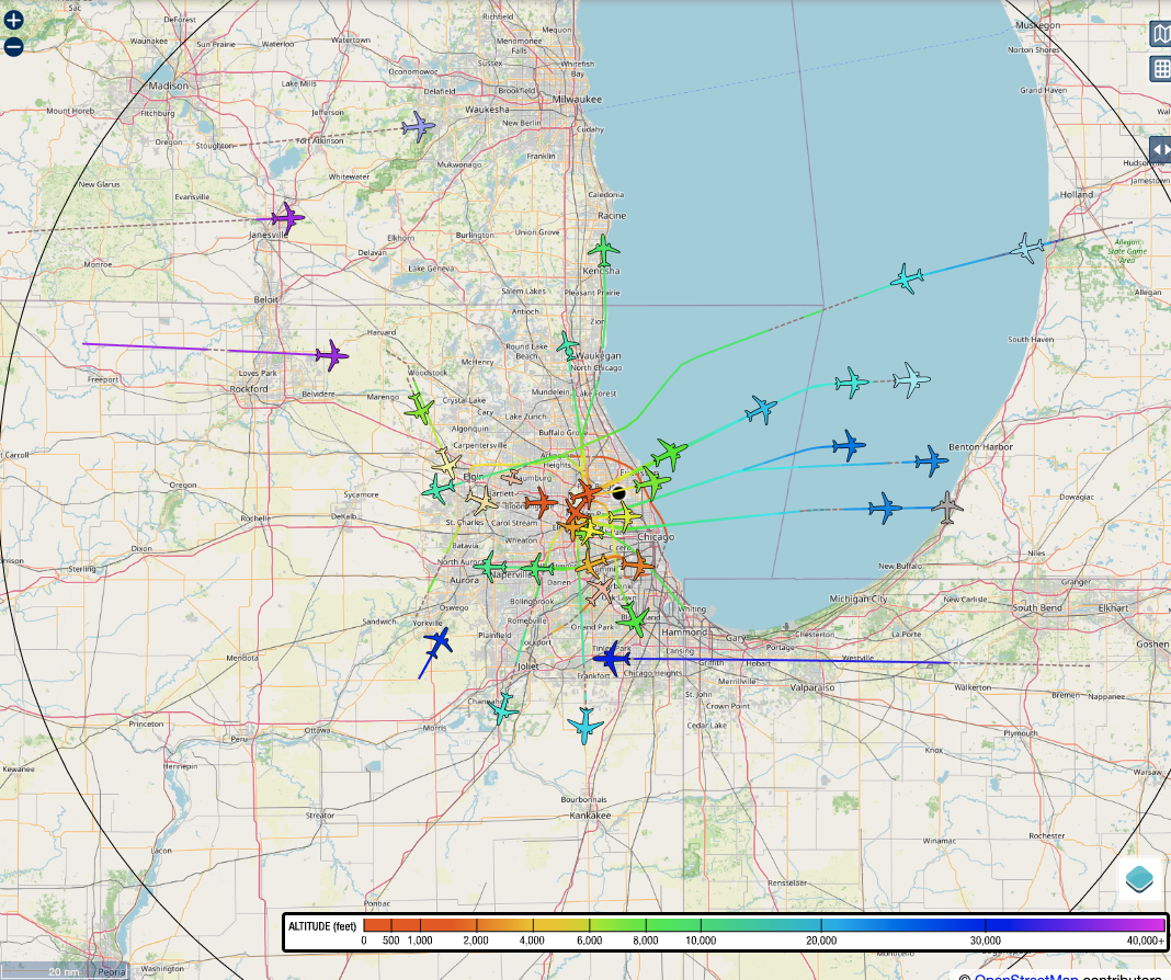
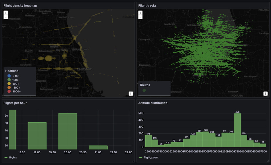
Now, I have piaware, dump1090-fa, and another python script sending the flight data to postgres and grafana churning that into some visuals.